Trip Report: Sigurd Peak
7/21/2024
2000m up, 2000m down. A sea to summit extravaganza.
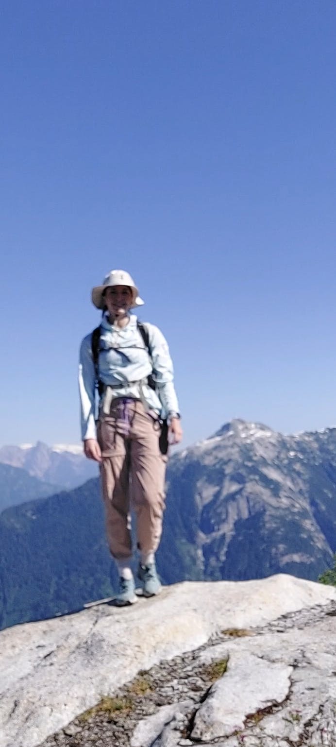
Between ultimate and work, my weekend availability is slamming shut until September, so I was desperate to get out on a hike this weekend. Initially I was going to do Alcoholic's Traverse as a weekend solo adventure, but one one of my friends has an annual birthday camping trip and so we were thinking of just hiking Mt. Brew, and then this week it switched to just camping.
It makes me feel like an anti-social lunatic but I was absolutely dying to go do something in the alpine so I refused to go have fun and socialize and instead set out on my own stupid hike.
My Stupid Hike: Sigurd Peak
Boasting a 2000m elevation gain over a 13km round trip, Sigurd was unsurprisingly unappealing to my friends. I picked it because the trailhead was an easy 2wd drive access from the Squamish Valley FSR where we were planning to camp. I also had my eye on Tricouni, which is in the same neighbourhood and sounded like a much nicer hike, but my beloved vehicle (Gloria) is a 2008 AWD SUV with a bunch of rattles and I'm too nervous about accidentally driving off a sketchy FSR to attempt that one on my own.
Sigurd shares a trailhead with Crooked Falls, which is way more highly recommended, so along the first 3km there's a ton of people. At one point I pulled off to let a returning group of hikers go through and noticed they all seemed to be gorgeous young tanned Australians in cute matching two-piece sets, which made me realize I was in full-length pants (with socks pulled over the cuffs, obviously), a sun hoodie, and a giant bucket hat. My days of being cute are over; my days being sun safe & mosquito-proof are here.
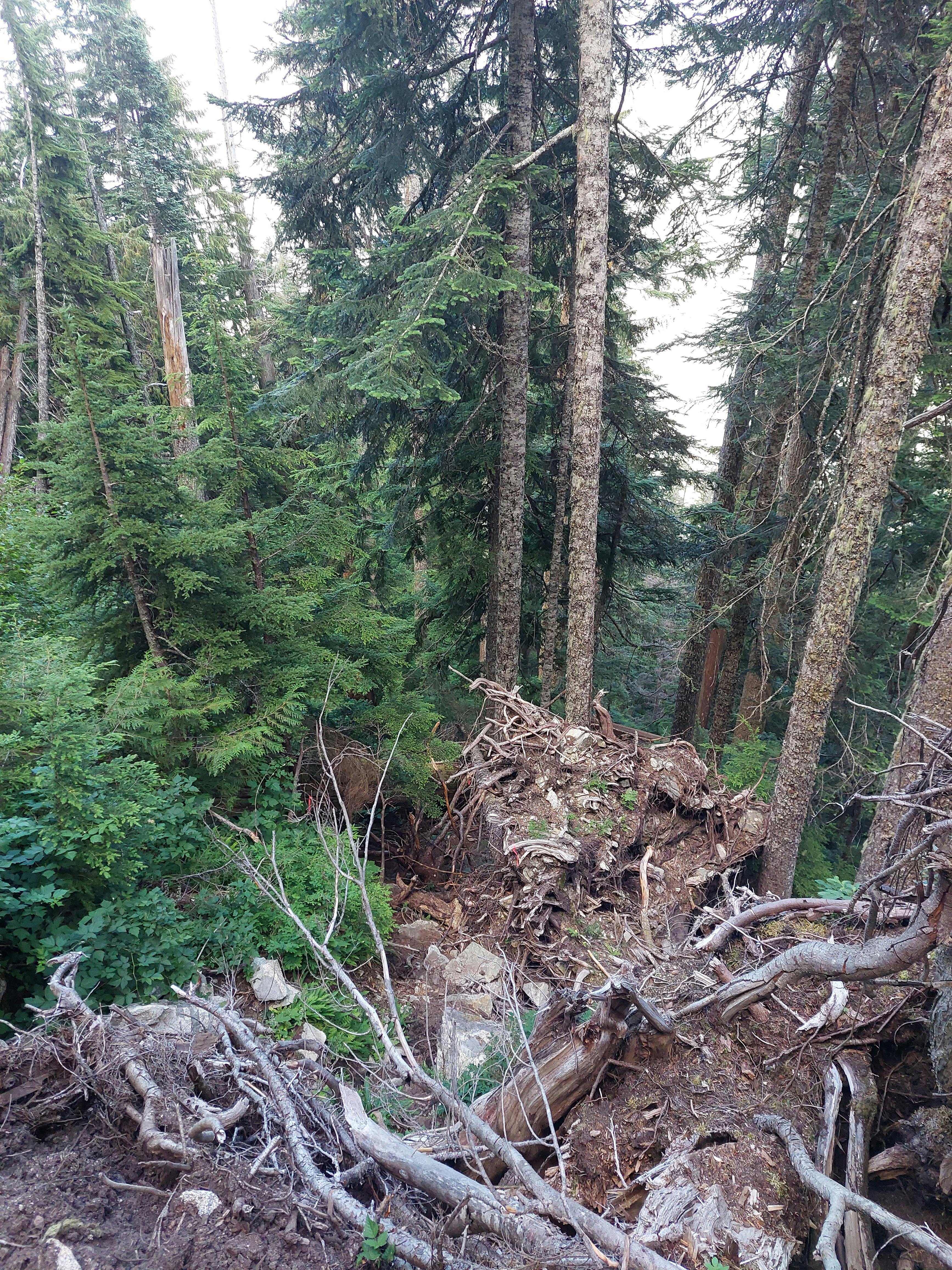
Once I got to Sigurd the real elevation began. Now that I wasn't passing grandparents and small children my pace slowed to a crawl. The trail varied from steep to climbing directly up roots, mounting fat fallen logs, and wiggling between rocks. In generally it was pretty well-marked and easy to follow, and when it doubt, the correct move was always just to head straight up. However, let me reiterate, this trail is steep. It took me an hour to hike 1km. And when I say hike it was at least partially a crawl. I was not having a good time. Pictured below is the trail.
I also made a big mistake by only bringing a 1L nalgene of water. I don't think I've ever done a hike in SWBC without easy access to water, and the Squamish river was running fast and we were by crooked falls, so I didn't even think about extra water. But Sigurd has no water. It was also 30 degrees so I was sweating buckets.
I thought about turning around, but I was 3km out of 6km to the summit, and I knew there were some alpine tarns, so I figured it was worth it to keep going even though I was parched to bits. It felt a little touchy when I finally got to the subalpine meadows and there was still no water, but eventually I found the first muddy little puddle and filled my bottle. I just had iodine drops so then I had to wait 30 minutes for it to clean the water. I will confess that when I found a snowpatch I sat there and ate snow and looked at Pelion, which was a beautiful view through the pines.
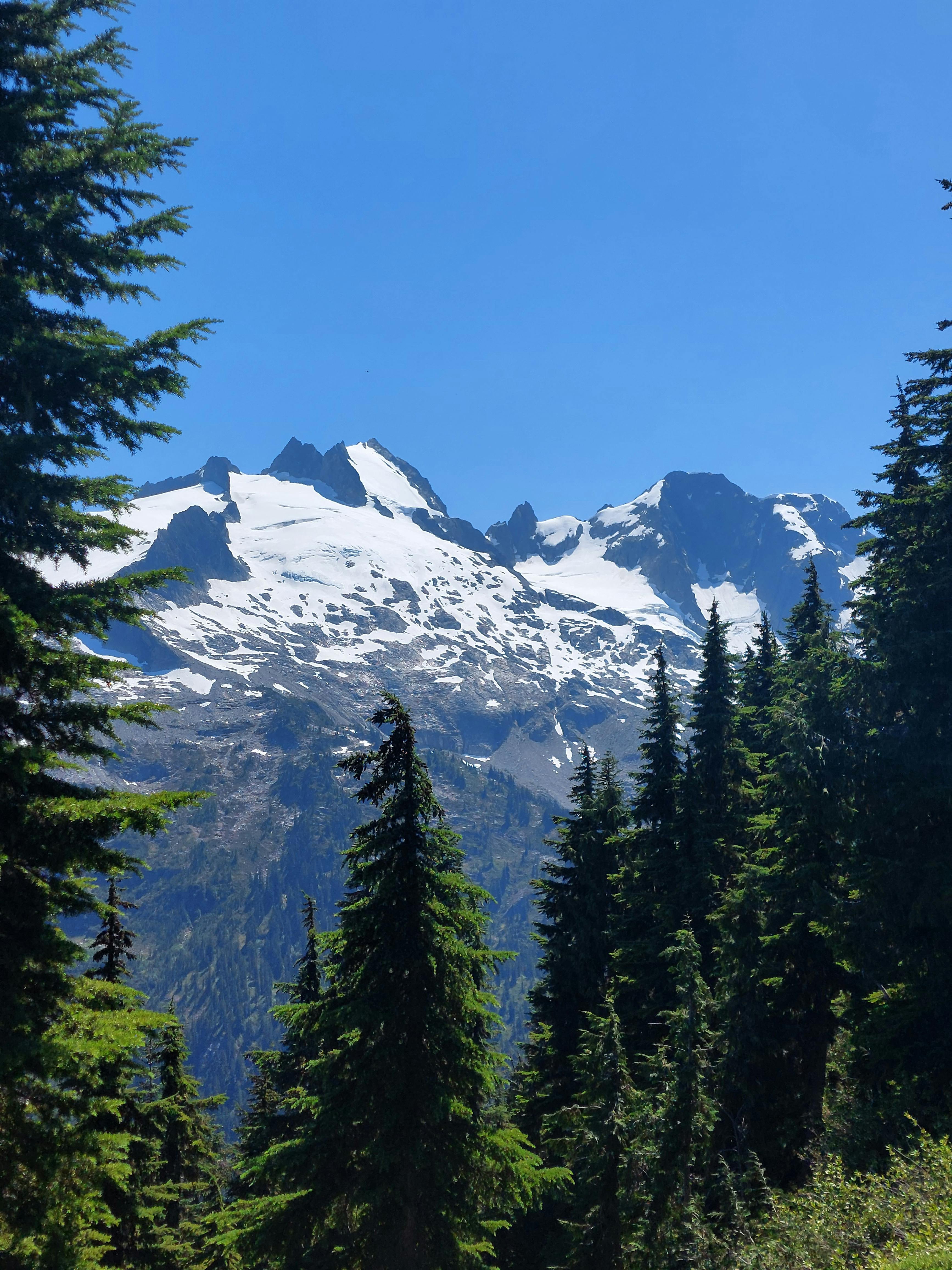
Did I mention it was steep? The trail continued straight up to the final summit. I ran into the only other two people coming down from the summit and they assured me there was snowpatch melt and the summit wasn't that far.
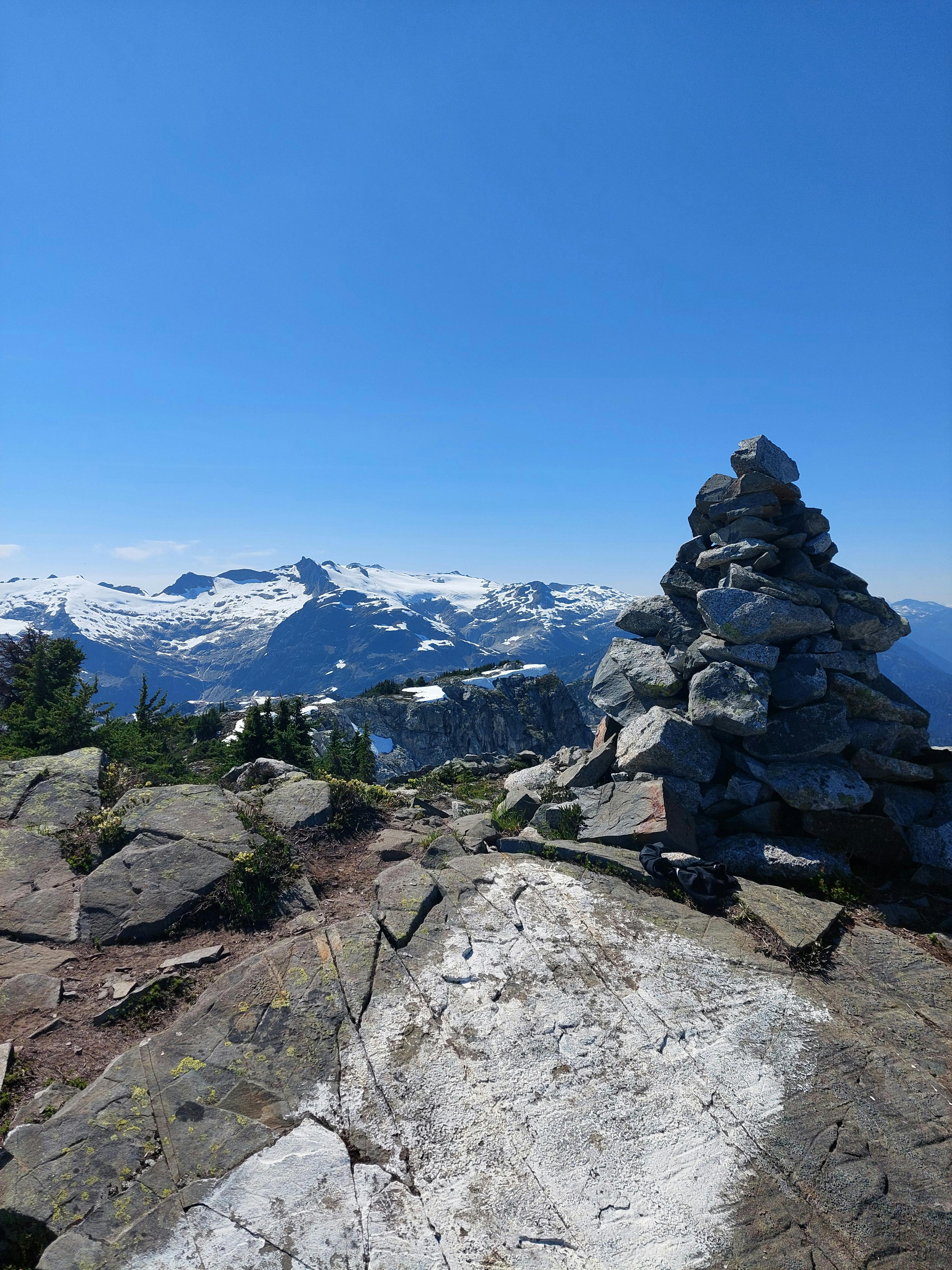
I dragged myself to the summit which had beautiful views back across the Squamish valley, the Tantalus range starting with Ossa & Pelion, and then an unknown to me range over the coast mountains. I was armed with a single cinnamon bun from Purebread which I enjoyed with my gross tarn water before beginning my descent.
Unfortunately descending meant going down the same 2000m I had just climbed up. Maybe my wayfinding also sucks but the alpine meadows have a bunch of false trails so I ended up doing little circles by mistake, to the point where once I got super lost and had to retrace my footsteps with the GPS map open so I could eventually get out of the rat's nest of suddenly vanishing trails.
I also don't think drinking around 6L of tarn water is very good for you, no matter how many chlorine/iodine drops go in them. However, I made it through and eventually limped out to the car around 7pm.
After that I found my friends, had a drink, and enjoyed camping along the Squamish River valley.
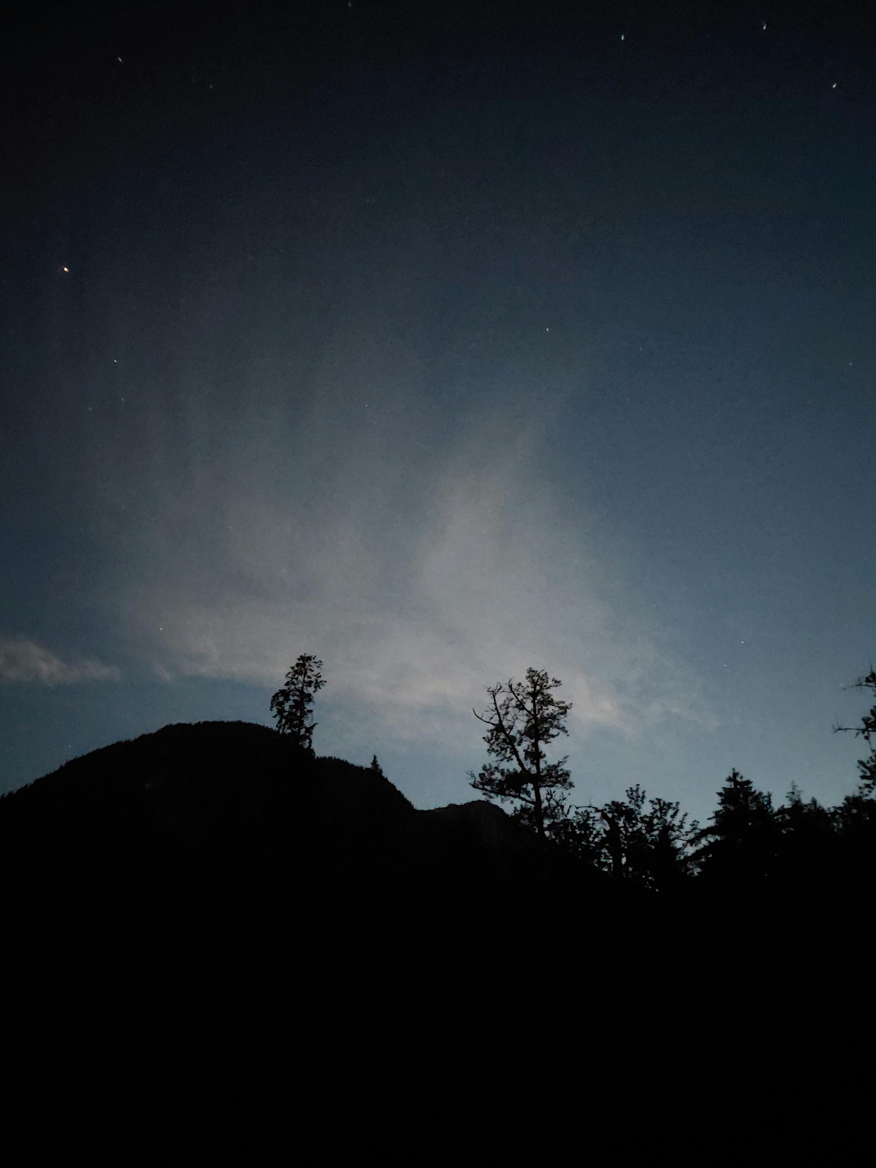
Hike Ranking
I had a training session on Monday and complained about Sigurd Peak, where I was promptly chastised by another random trainer for saying it sucked. So I'll say it with my chest: it sucked. No water, super steep, and the trail had a ton of deadfall and weirdly marked sections.
The upsides are that the alpine section is beautiful and it's a great challenge. Hiking from the sea to the alpine gives you an appreciation for what your body can do. But! It also sucks. And you will have to drink a lot of tarn water. I think in the neighbourhood, Blanca or Tricouni would be much more enjoyable if your vehicle can handle it.
That being said, there's no real bad hikes, just bad hikers, so maybe with 3L of water and sturdy legs you'll have a better time of it.
Other Posts
6/25/2025
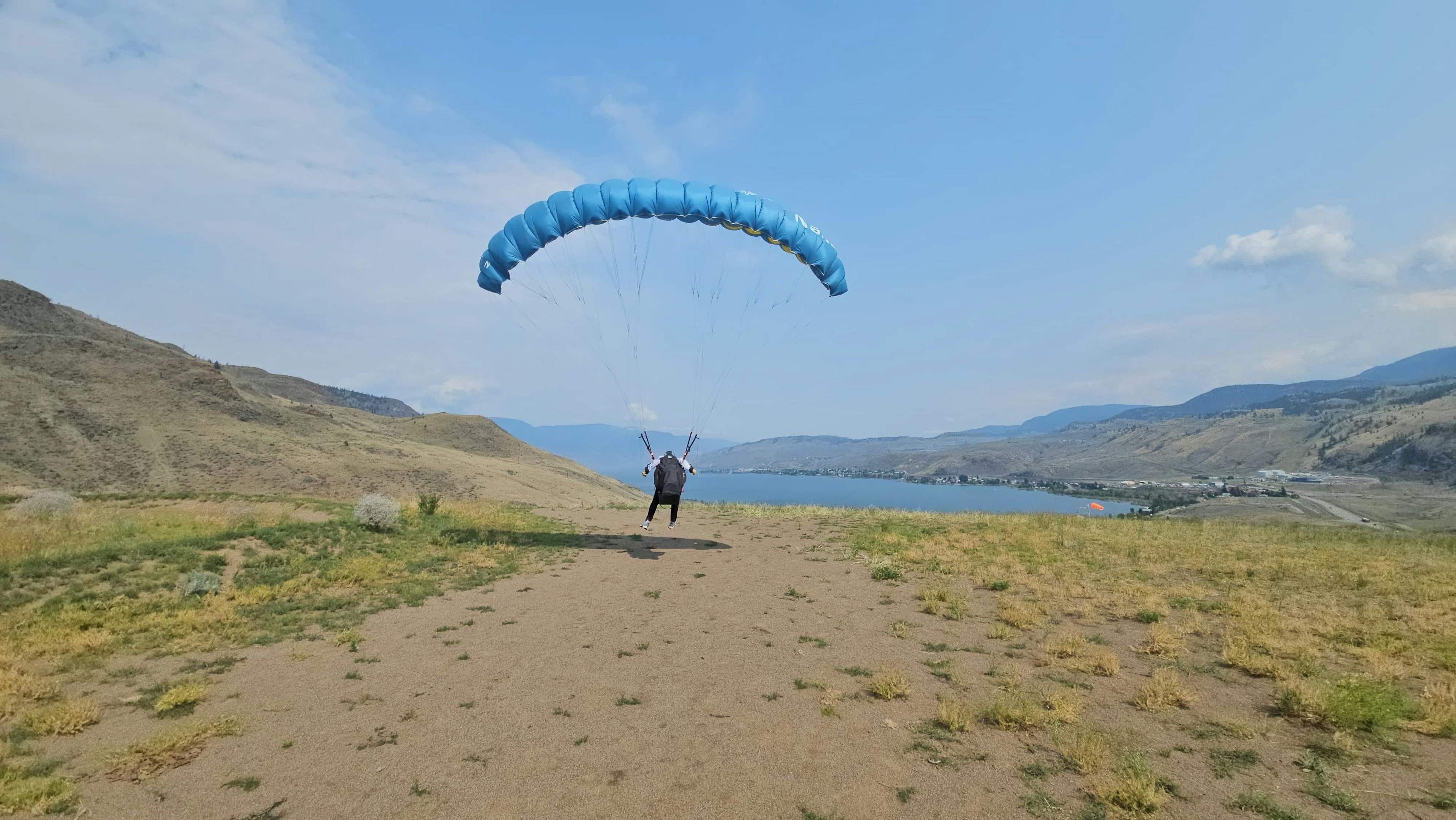
Weekend Report: Paragliding Part 2: The Paragliderer
Come sail away, come sail away, come sail away with me... another weekend in Savona chasing the P2 license.
6/9/2025
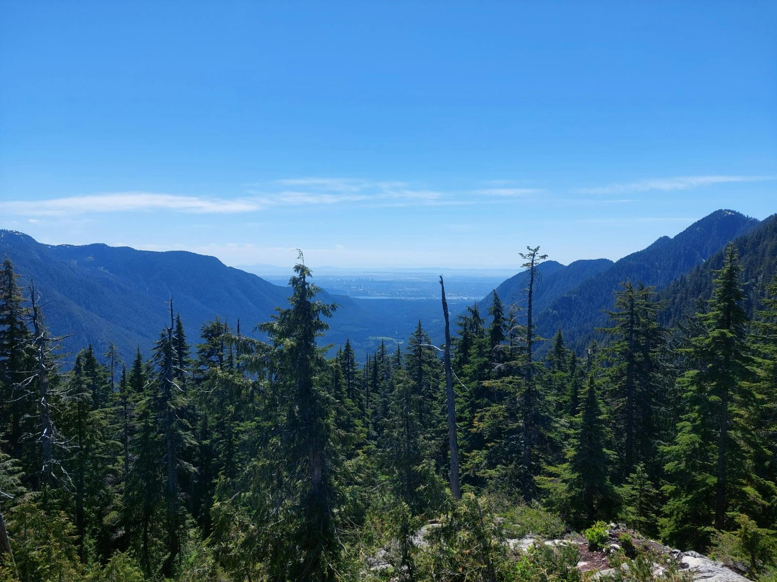
Trip Report: Paton Peak via Mt Seymour Valley Trail
Another Slightly Silly Solo Sufferfest for a failed attempt on Coliseum.