Stats
Distance: 35km
Elevation Gain: 2670m
Elevation Loss: 3000m
Total Time: 14h 40m
Beer cans picked up: 9
GPX link (I know what you're here for):
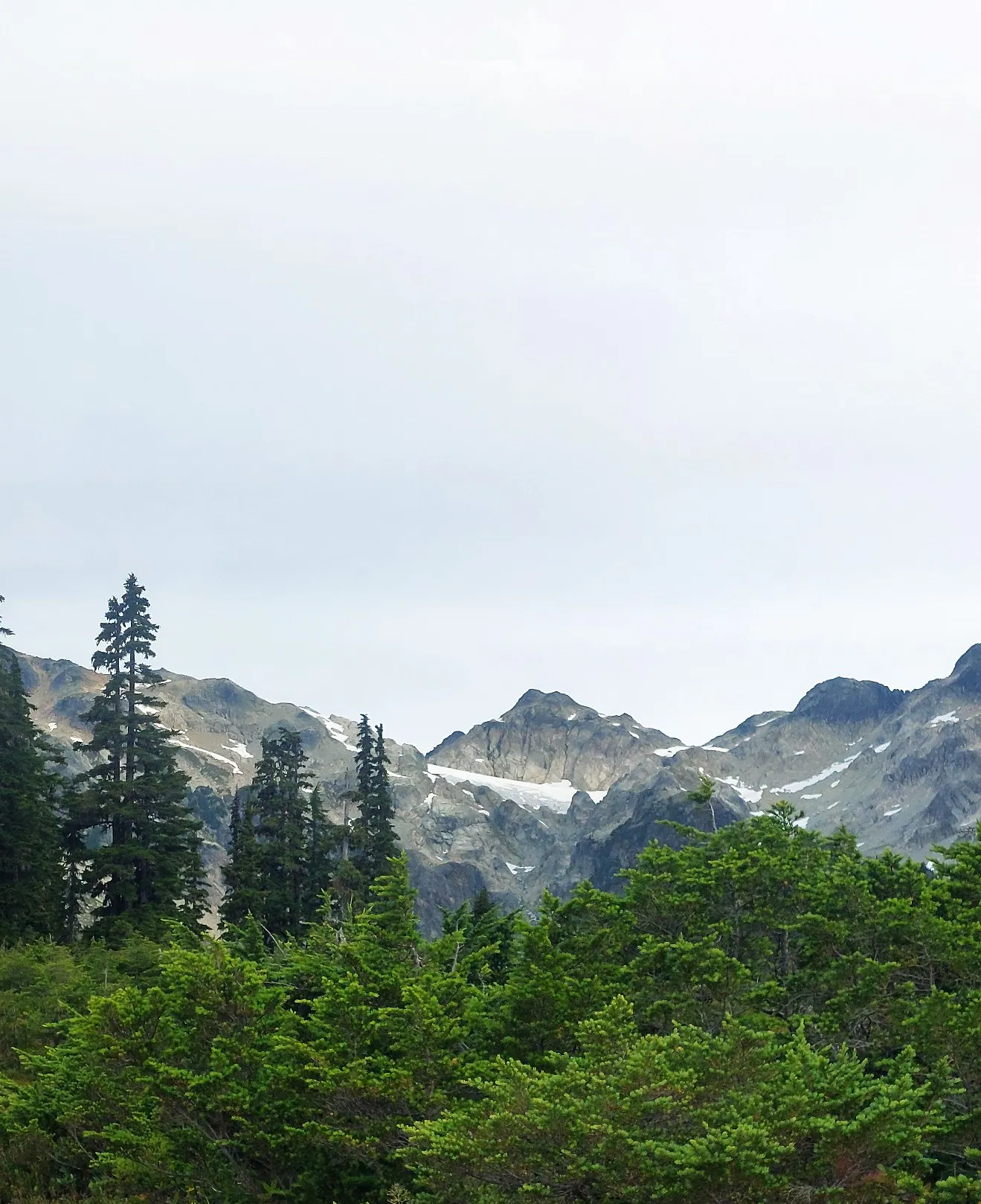
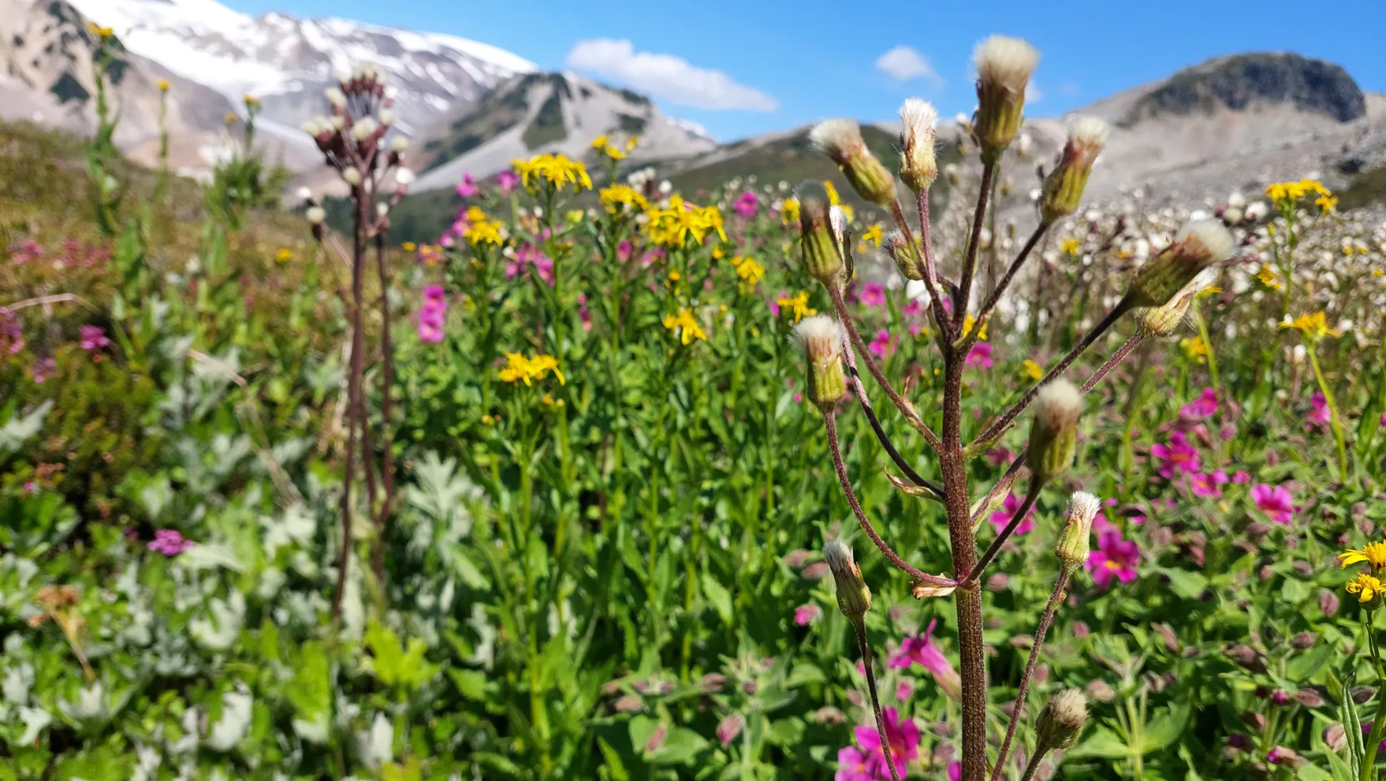
Scenes from the Traverse
I've dreamed of doing this traverse for three years but for some reason nobody bit on my pitch of doing it as a super fun trail run in a day until this month.
We dropped the one car at the Brew FSR (you can also do the Roe Creek trailhead but I don't know if it's any better), and the second car at the lower lot at Brandywine, which added about 1.7km of hiking and most of the elevation gain to the trip. We started the car drop faff at 5:40am and then actually got hiking just before 7am.
The Brandywine trail is fairly well-documented so I won't go too deeply into it, but it's super high value for views versus effort. The mountain trail is not marked or maintained but it's a pretty simple skip up a ridge and onto the summit, which is a nice pile of choss.
My friend brought a little MSR camp stove to make us coffees on the summit of Brandywine, which was hilarious, and my tiny 8L running best was mostly occupied by my enamel mug & my sketching supplies. You know, the ten essentials.
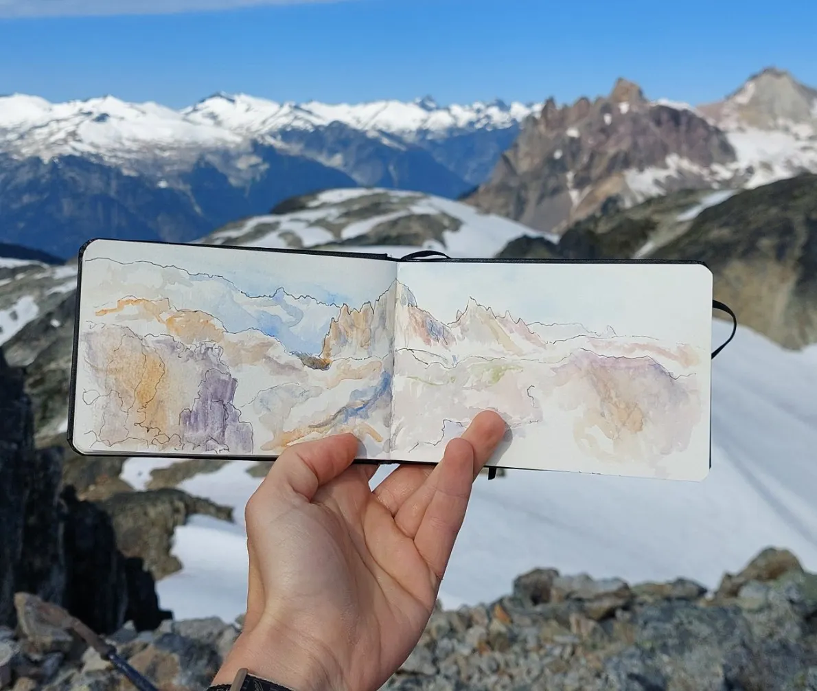
I'm trying to develop my plein air practice so naturally this was the appropriate place & time to embark on these 15 minute sketches. I don't really think my friend appreciated this. Such are the trials of being an artist.
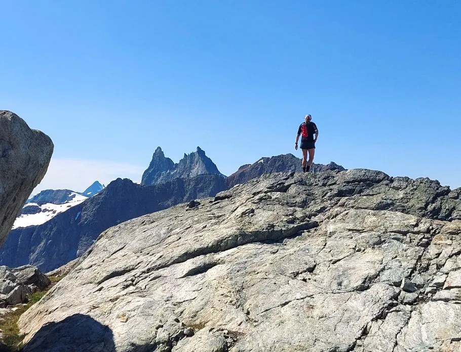
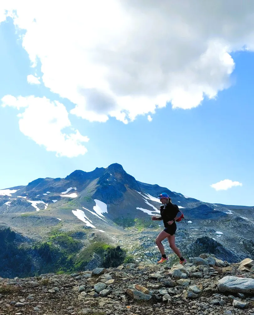
After Brandywine we dropped down to the obvious trail along the shoulder and then began the plod up and down the nubs of rock along the ridgelines that looped us around Mt Fee. I thought this would be a simple sharp ridgeline traverse, but it's mostly rounded terrain with lots of bumps, so there's not much to say other than it's a real choose-your-own-adventure situation.
I don't know if I'd even classify this as a scramble route since it was all pretty easy and non-exposed. You do get to touch a lot of rocks. I found it fun and not scary at all, there weren't really any "if you slip you'll die" moments. The worst part, as always, were loose scree slope descents.
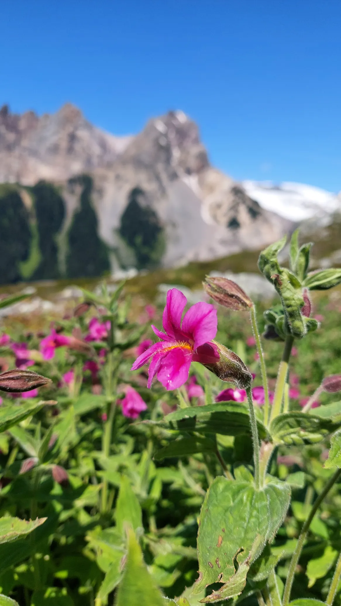
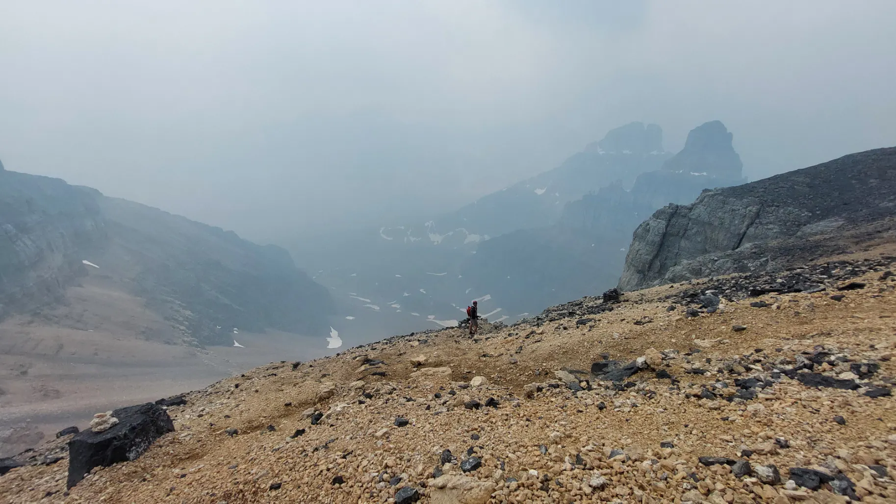
We had beautiful views the entire way. It seemed like every additional kilometer pulled in a new and better view of Mt Cayley in the distance.
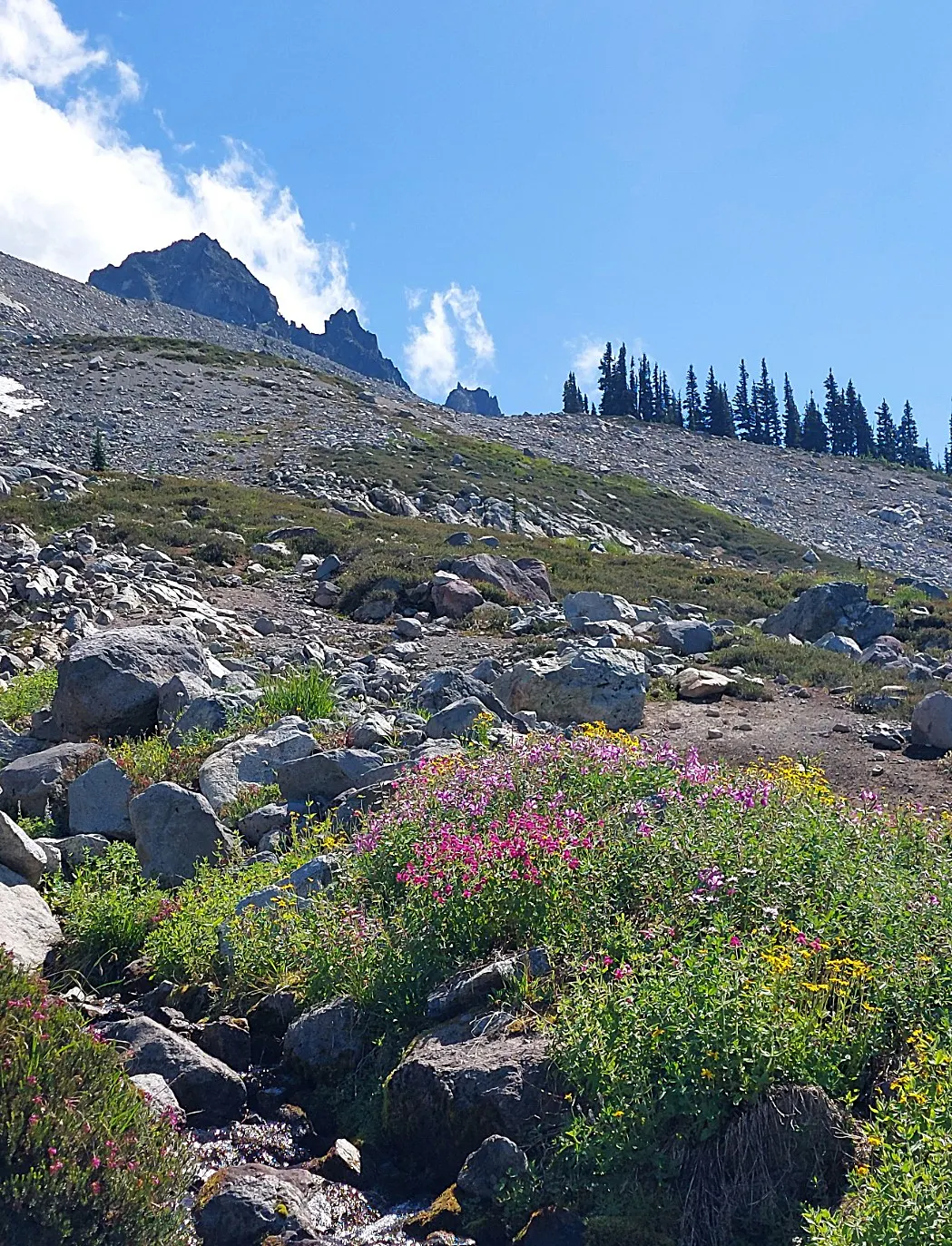
After these ridgeline crossings we dropped down into the meadows above Shovelnose Creek, which was about a 6km segment of the trip, and I foolishly thought we could easily jog out this part. However, there was still quite a bit of navigating required and eventually we hit a steep gully. From the other reports online, I'd gathered you could go high or go low around the shoulder of Mt Fee here, but I was nervous about the glacier on that route since we had no gear; the steep gully was scarier in the moment, so we went up to the glacier and then scampered around below it across a beautiful tarn and up and over a mysterious ridge nub that we hoped wouldn't cliff out.
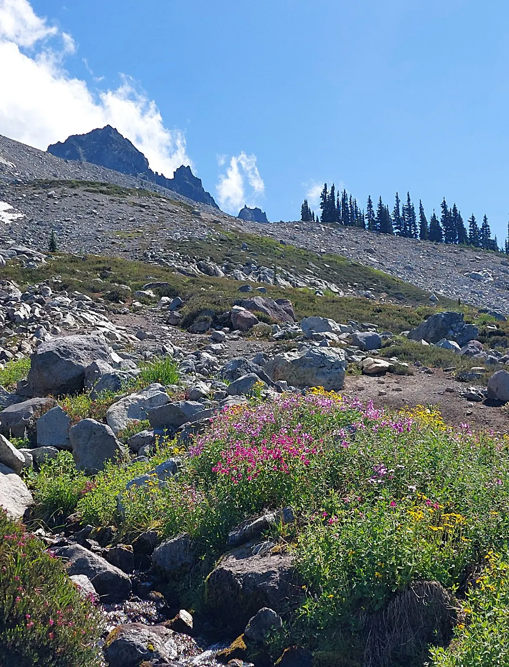
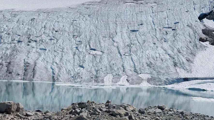
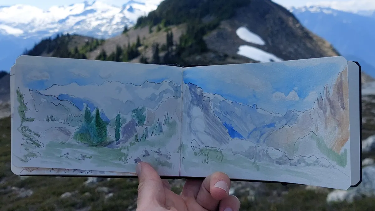
The meadows, the glacier, the watercolour of the nub.
Luckily for us, the nub opened up to a beautiful mellow valley trek. From there we continued straight, down into another valley, and then began curving east towards Keg Peak. I think we could have remained on the ridge so we didn't have so much up and down and were a little more direct, but at least we had an enjoyable romp through the valley and beautiful views of the mountains to the south of us.
We hit Keg Peak and relaxed, thinking we'd have a trail, but the trail was actually kind of hard to follow. We dropped off the ridge and encountered this hideous gravel slope that was somehow both bonded and loose and had to crawl across. So I'd recommend staying on the ridge here to the VOC hut. At the hut we went up for the final stop of the day, Mt Brew. The trail here involved some extremely strange tunnelling through tree branches.
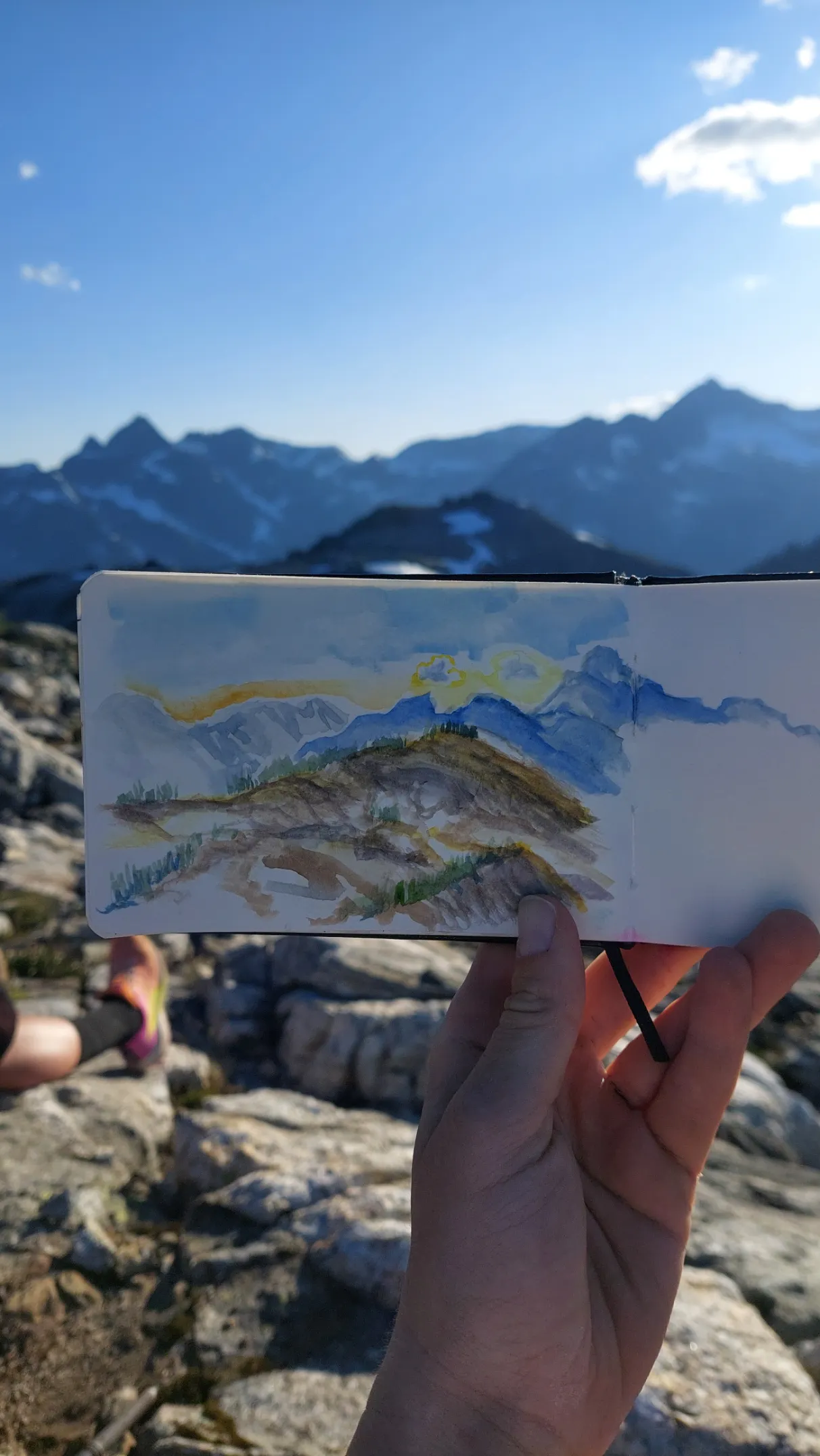
From Mt Brew it was the familiar trail down to the lake and to the car. I did this two years ago in October and for some reason I really liked it. I assume I had lower standards of what made a good trail back then. The trail was steeper than I remembered and extremely vegetated. At this point the light was fading and we jogged out the lower part of the trail to finally reach the trailhead.
From here it was a plod down the FSR to where I'd left the car down one of the switchbacks. I was feeling defensive about my sad little AWD and my lack of ability to get it up the road so I checked the time from the trailhead to the car and it was only 1km/10 minutes down to where I was parked. At this point it was about 9:30pm at night, we had a little second traverse to retrieve the second car, and then at 11pm I was back in Squamish eating McDonald's like a goblin in my car alone to cap off the day.
So that was the traverse! It took us about 11hours of moving time and 14hrs 40 minutes overall from car to car. It was incredibly beautiful and a very fun challenge without being terrifying or requiring technical skills. Overall, very high value. If I had my way I think I'd like to do this every weekend honestly.